
Field Soil Description & Classification Course
- Start Date: June 10, 2026
- End Date: June 12, 2026
- Time: 9am - 5pm Pacific Time
- City: Revelstoke BC
- Venue: Classroom venue Knights of Pythias Hall (201 3 St W, Revelstoke), and various field sites
- Instructor: Deepa Filatow, Jessica Lowey and others!
- Registration full! Please contact [email protected] to be placed on the waitlist
Course Description
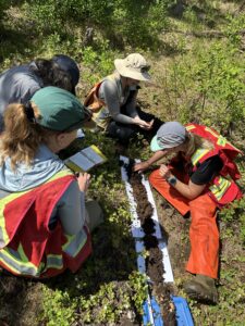
This course covers procedures for observing, measuring, and describing soils in the field. The goal is to produce consistent data for soil inventory, mapping and classification using techniques that improve the consistency of determining soil properties in the field. Students gain experience with describing and classifying forest and wetland soils in the Revelstoke area using soil horizons and properties measured in the field. Students discuss how soil data collected in the field can inform soil management practices relating to conservation, agriculture, forestry, mining, and oil & gas activities.
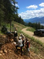
The course starts in the classroom where students have the opportunity to meet with one another and the instructor team. The morning is be spent reviewing soil attribute data recording requirements, soil taxonomy, and field techniques. That afternoon in the field we practice the procedures for observing landscape context, site selection, and soil pit excavation. Participants describe and record soil horizon designations, depths for organic and mineral layers, soil texture, soil colour, % coarse fragments, structure, pH, roots, pores, carbonates, effervescence, clay skins, mottles, rooting depth, drainage, seepage water depth and root restricting layers. Horizon designation and other criteria are used to classify the soil. We conclude each site with a reporting out and discussion of management implications. The next two field days students continue to practice these skills and visit a variety of different landforms and soil types.
A detailed course outline is available upon request.
Revelstoke is a fantastic location for this course as there are a wide variety of soils accessible to students that in other locations you would have to travel great distances to be observe! Additionally, this course comes with one lead instructor and up to three assistant instructors who collectively have over 100 years of experience!
This course fills quickly, be sure to register right away if you have interest
Our Instructors
This course has an incredible teaching team with two instructors and two additional soils mentors for a small group of students.
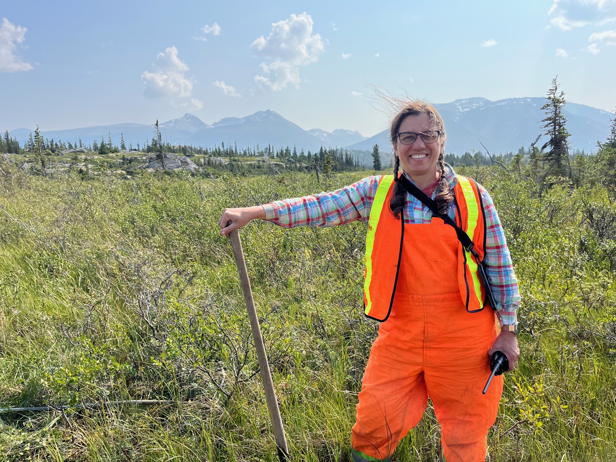 Deepa Spaeth Filatow, lead instructor
Deepa Spaeth Filatow (P.Geo, PAg) is an ‘earth science generalist’ and an expert on surficial geology, landforms, ecosystem and soils in British Columbia. She is a volunteer instructor keen to share her expertise and contribute to the soils community of practice. Deepa has three decades of experience mapping ecosystems, soils and terrain in all regions of the province and has had the privilege of working in interdisciplinary teams with top notch ecologists, soils scientists, GIS specialists, First Nations field technicians, wildlife biologists, planners, engineers, agrologists, anthropologists and foresters. She lives, works and plays on the traditional, ancestral, and unceded tm̓xʷúlaʔxʷ (land) of the syilx / Okanagan people.
Jessica Lowey, assistant instructor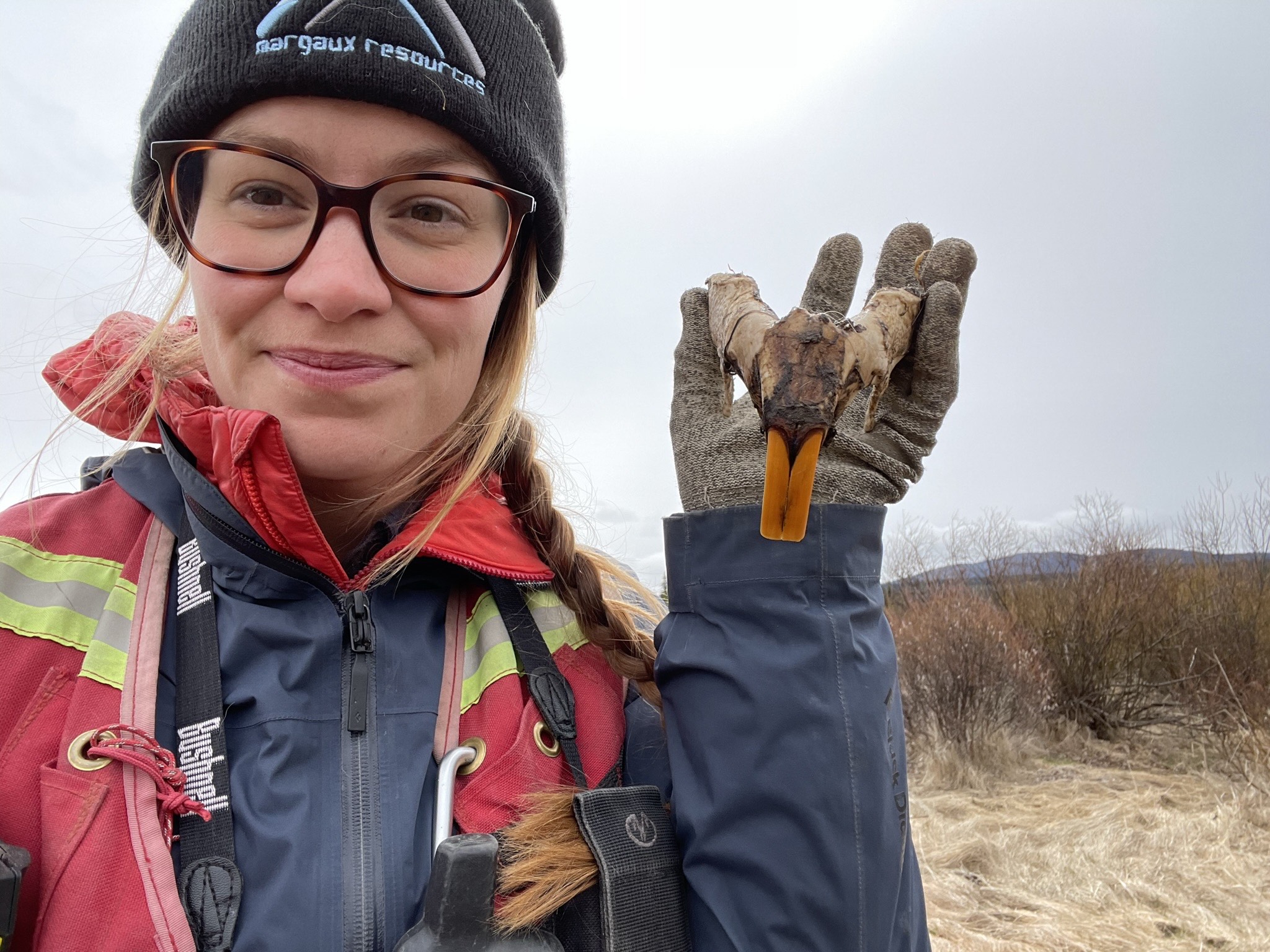
Jessica Lowey (PAg) is a terrestrial ecologist and soil scientist and is a practicing environmental consultant with years of hands-on and academic experience with soil classification, mapping, and management. She has experience with large scale TEM and soil mapping projects, Phase I/II ESAs, and has assisted with carbon storage sampling in mineral and organic soils throughout the province. Jessica has a passion for soils and sharing her knowledge with others having taught a number of related topics in the past.
Brian Wallace, mentor instructor
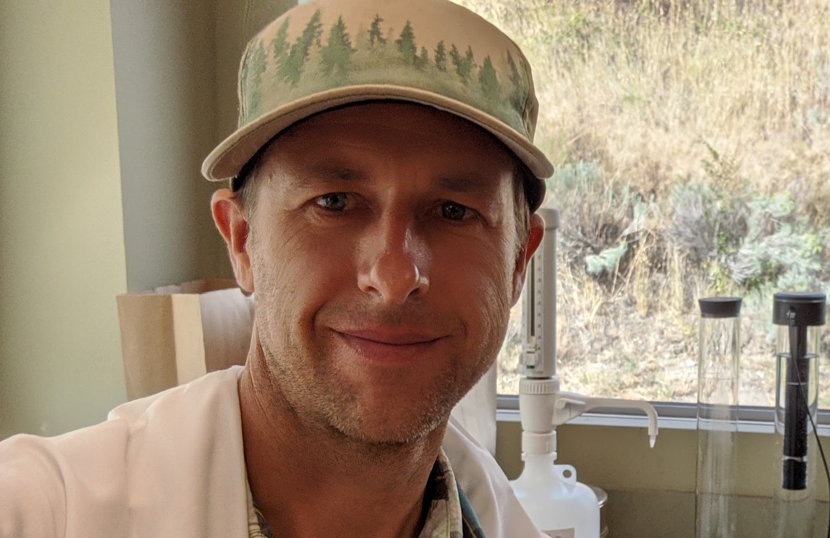
Brian Wallace, PhD, P.Ag., is a research soil scientist with the Ministry of Forests (MoF) in Kamloops. Brian began his career with MoF in 2007 working as a Range Research technician and developed a real passion for grassland-steppe and dry-forest ecosystems. Currently, his work has been focused on understanding how forest harvest, range management, and ecosystem restoration activities affect soil organic matter formation and protection processes and their subsequent soil carbon stock. In contrast, Brian’s PhD work was focused on quantifying winter nitrous oxide emissions from green manure rotations used in organic wheat production systems. While not at work, Brian unsuccessfully try to convince my young kids about the excitement of digging and describing soil pits in new ecosystems and locations!
Tim Philpott, mentor instructor
 Tim Philpott (PhD, P.Ag) is a research soil scientist with the BC Ministry of Forests based in Williams Lake, with expertise in forest soil ecology, fungal ecology, and biogeochemical cycling. His research focuses on understanding how soil organisms (particularly fungi) mediate carbon and nutrient dynamics in forest ecosystems, and how these processes respond to disturbances such as wildfire and forest management. Tim has more than a decade of experience describing soils across BC. He has contributed extensively to the provincial ecosystem mapping program in the Cariboo region and in northwestern BC.
Who should take this course?
This course is designed for people doing environmental assessments, soil reclamation, remediation and reviewing soils data collected by consultants. It will interest people working in resource management, agriculture, forestry, mining, oil & gas, and government agencies such as the Forest Service or Regional Districts. TEM and PEM practitioners will have interest in this course. All are welcome.
Preparation and what to bring
Publications
It is recommended that students review the following publications, and to have the publications/resources either printed or on their phone. All are available on-line:
- Field Manual for Describing Terrestrial Ecosystems. 2010. LMH#25. Pre-read section 2 on Soils Description. Used to describe all soil attributes. **Highly recommended that each student have their own copy, although the instructor will have a two copies to share. See here
- The Soil Landscapes of BC. 1986. Please pre-read section three, and read section 3.5 as it addresses the Columbia Mountain and Southern Rockies soils. It’s old but still relevant! See here
- The Canadian System of Soil Classification. 1998. Used to classify soils, the instructor can share his copy with students, but students may want their own copy for future use. See here
Field equipment
Each participant must have:
- Sturdy hiking shoes (for uneven terrain and shovelling)
- Waterproof boots (for wetland site)
- Rain gear (jacket and pants)
- Warm layers
- Pack or field vest to carry gear
- Reflective safety vest
- Water bottle (at least 1L)
- Trowel (garden trowel)
- Soil knife (can use an old cutlery knife)
- Tape measure
- Golf tees (for horizon markers could use large nails)
- Field Manual for Describing Terrestrial Ecosystem LMH 25 (loaded onto field mobile device)
- Canadian System of Soil Classification (loaded onto field mobile device)
- Field note book
- Mechanical pencils
- Mobile device (communication, soil classification app, photos, resources, gps, etc.)
- Packed lunch
It would be nice if participants have:
- Clip board
- GPS
- Plastic bags (large ziplocks)
- Hand lense (10x or higher)
- Measuring spoons (for soil texturing)
- Hard copy of Canadian System of Soil Classification
- Small soil sieve
- pH litmus paper (can get from a pool supply store) or pH meter
- 10% HCl (hydrochloric acid for carbonates)
- Root saw and/or pruning clippers
- Clinometer
- Compass
- Small umbrella
- Camera
- Water spray bottle
We need some extra items in the following list but not necessarily one for every person. To help with our planning we’ll be asking if you can bring any of the following in the registration form:
- Hard copy LMH 25
- Munsell Soil Colour Chart
- Field capable vehicle (for gravel roads)
- Shovel
- Truck or hand radio with RR stations programed
- First aid kit
What is included with the course?
There is no workbook or manual for this course. The 3 publications listed above provide all the background & technical procedure. The field sheets contain all the soil description data and are the only hardcopy deliverables.
Lunches are available for pre-order with registration. Coffee/tea and snacks are provided for the classroom sessions.
A certificate of completion is provided to all students to aid with claiming professional development credits.
Registration
Registration for this course will includes catered breaks for the classroom session, coffee/tea on each field morning, and an option to add a bagged lunches for all three days of the course. Lunches and all catering supplied by La Baguette.
*CMI memberships may be purchased upon registration – read more about CMI membership here.
CMI members $550*
Non-members $605
REGISTRATION FULL
NOTE: Spaces are limited to 16 people. Once registration fills, you will be welcome to join our cancellation list for the course. Anyone on this list will have the chance of filling registration cancellations as well as being the first to be notified when we open up registration for next season’s course (this course runs every two years). Please email office@cmiae.org to be placed on the list.
Where to stay?
We have numerous accommidation options that offer discounts to CMI registrants!
Basecamp Revelstoke: various locations and room rates
- Discount code of 15% via the online booking tool using the promo code “CMI”
- Basecamp Resort: Just outside of town towards Revelstoke dam. About a 10min drive to the School District 19 (SD19) admin building where this course starts each day
- Basecamp Suites: A brand new build downtown Revelstoke, about a 20min walk or 8min drive to the Okanagan College
- Northwinds Hotel: A newly acquired hotel in the Farwell area of town, about a 10-15min to downtown