QGIS: Introductory and Level II
- Start Date: May 03, 2018
- End Date: May 04, 2018
- Time: 9am-4pm
- City: Cranbrook, BC
- Venue: College of the Rockies, Main Campus in Cranbrook, Rm 187
- Instructor: Richard Johnson
- Option of signing up for one or both days.

Workshop Description
The free, open source QGIS program is used and supported by a world-wide array of developers. Learn how to use this program to produce maps from public databases and your own knowledge. This course is presented over two days, with the option of taking both days, or just day one or just day two.
Day one – Introduction to QGIS
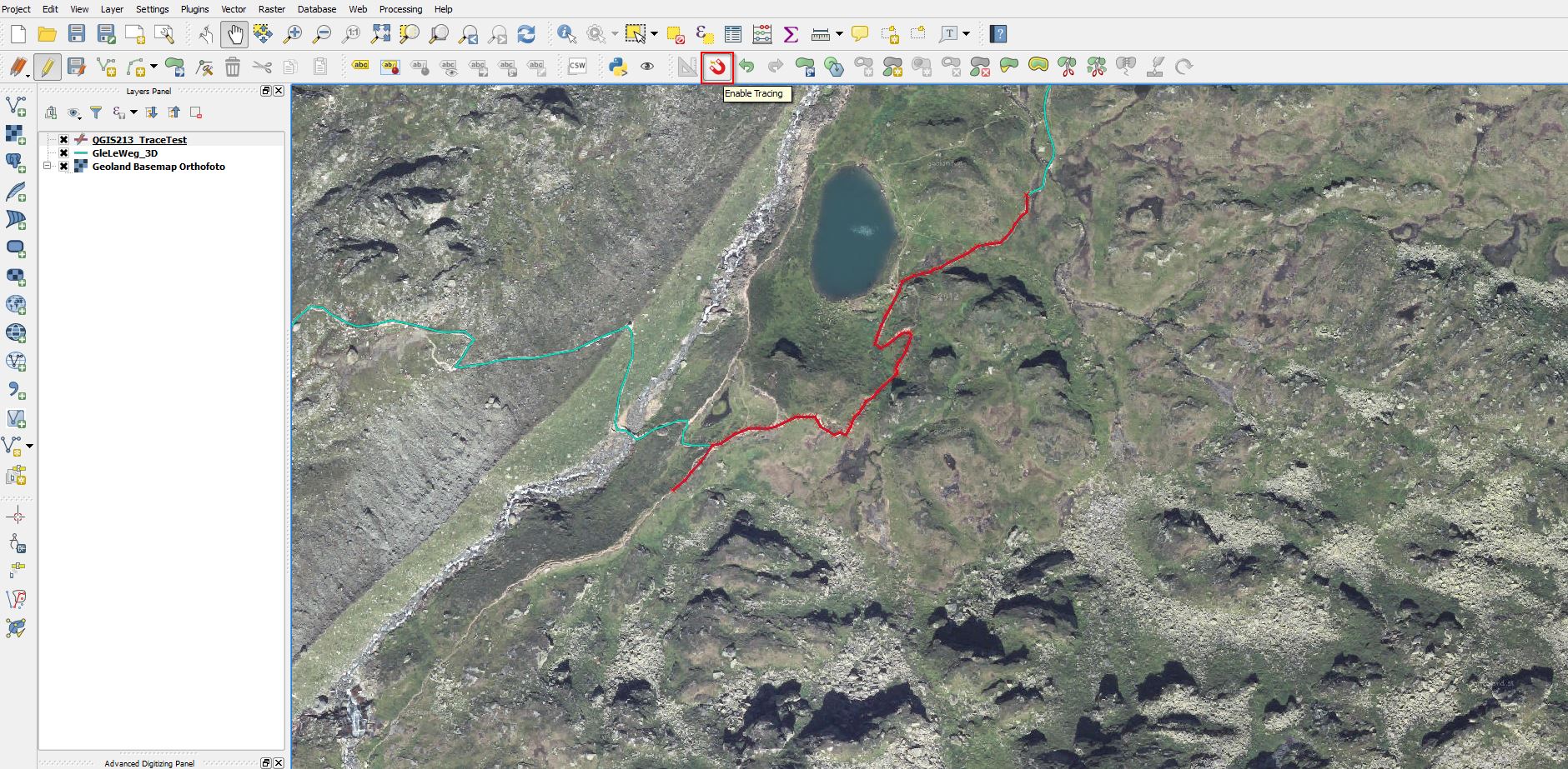
In a hands-on environment, on their own computers, students create basic maps, adding lines, shapes, overlaying images, creating contours, adding labels and producing high quality maps for print or digital presentation.
Day two – Second Level QGIS
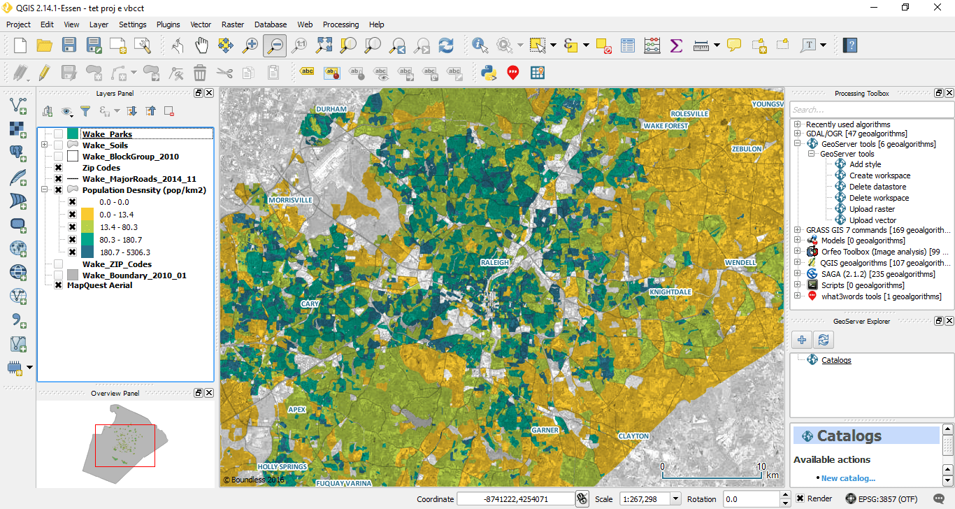
Participants expand their capabilities, working with raster, vector and satellite/air-photo imagery to become proficient using QGIS to solve more complex problems. **Students must have background in QGIS to take the second level course.
The course is a workshop with minimal formal presentation. Most of the time students worked on their own computer.
For a copy of the course outline, email office@cmiae.org
This course has been approved by the Society for Ecological Restoration (SER) as a for-credit course!
Introduction to QGIS (day 1) – Students will earn 6 continuing education credits SER’s Certified Ecological Restoration Practitioner (CERP) program.
Second Level QGIS (day 2) – Students will earn 3 continuing education credits SER’s Certified Ecological Restoration Practitioner (CERP) program.
Our Instructor
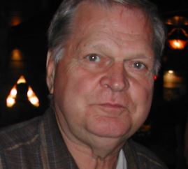 Richard Johnson is a geological engineer who worked in the petroleum industry for over thirty years prior to moving to the Slocan Valley in 2007. He is one of the founders of the Slocan Wetland Assessment and Monitoring Project (SWAMP) and is on the Columbia Basin Watershed Network Board of Directors. He does hydrogeological studies, aquifer mapping and satellite image interpretation. He has just over thirty years of experience teaching courses to students through his company Opus Petroleum Engineering Ltd. He can be reached at richard.slrc@gmail.com
Preparation for the workshop
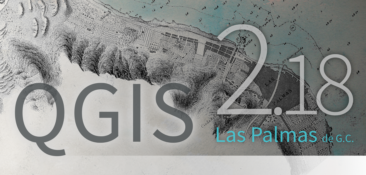
Students must bring their own computer and have QGIS 2.18 (Las Palmas) loaded and functioning. Students are expected to be able to open the program. There is a slight variation between the Windows and the Mac versions and Richard will be teaching from the Windows version.
Students can download the QGIS 2.18 User Guide from http://docs.qgis.org/2.18/en/docs/user_manual/index.html Click on “User Guide/Manual (QGIS 2.18)” under the Table of Contents to download the Guide in sections. Details on how to install and run the program can be found in the “Getting Started”. Students will get more from the course if they do the “Sample Session” in the “Getting Started” section.
There are many tutorials on the web. Richard’s favorite is by Ujaval Gandi at http://www.qgistutorials.com/en/ Although it was written for previous versions of QGIS, much of it is still relevant to the 2.18 version.
A data package will be provided to registered students. It will contain all of the example data that we will be working with in the class. Richard will also provide follow-up for one month after the course for individuals who have questions and problems.
If you wish to get a better understand of GIS before you come to this course, you could use these resources here
Registration
Registration for this course included catered refreshment breaks. Course fee per day: $151 (members), $196 (non-members)
Where to stay?
A room-block was arranged at the Elizabeth Lake Lodge, a 10 minute drive from the college.
Thank you to our host, College of the Rockies