Wetland Classification: An introduction
- Start Date: July 03, 2024
- End Date: July 05, 2024
- Time: 9am - 5pm Pacific
- City: Revelstoke BC
- Venue: Classroom venue Okanagan College: 1401 1 St W, Revelstoke. Various field sites
- Instructor: Various, see below
Course Description
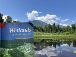
This course will introduce students to the BC Classification system of wetlands and the Canadian Wetland Classification System, providing them with an overview of how to classify and delineate wetlands and the differences between using these systems. The course will start with a classroom session learning how to classify wetlands using the physical and biological characteristics (e.g., hydric soils, hydric plant indicators, and hydrology). These field parameters will be applied to protocols including the Canadian National Wetland Inventory that can be used in the field to describe, classify, and delineate wetlands. The course will include 3-4 field site visits around the Revelstoke area to local wetlands to practice classification and delineation processes using site forms and the Wetlands of British Columbia (LMH 52) guidebook. Functional wetland assessments (including the Wetland Ecosystem Services Protocol) and condition assessments will also be briefly discussed.
A detailed course outline is available upon request.
Note: This course is scheduled closesly with complimentary course on Field Soil Description & Classification. You may also have interest in this course.
Our Instructors
This course has a great teaching team with two instructors and two additional and highly knowledgeable mentors for a relatively small group size of up to 25 students.
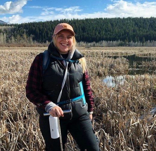
Alana Higginson, Co-lead instructor
Alana Higginson (B.Env) is the Program Coordinator for the B.C. Wildlife Federation’s Wetlands Education Program. Since 2019, she has been coordinating and facilitating wetland workshops, providing training to consultants, conservation groups, government staff, and citizen scientists through the BCWF Wetlands Education Program. Since this time, she has delivered over 30 workshops focused on wetland classification within various communities across BC.
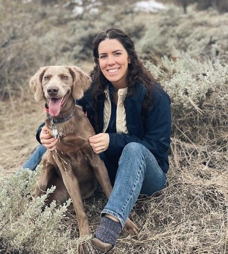 Kyla Rushton, Co-lead instructor
Kyla Rushton (P.Ag) is the Wetland Assessment & Field Coordinator with the BC Wildlife Federation, who has been working on using the Wetland Ecosystem Services Protocol and Canadian National Wetland Inventory with conservation partners and First Nations in BC. While working with partners on the land, Kyla has instructed a variety of students using these protocols as well as wetland delineation and classification. Prior to working with BCWF, Kyla worked on riparian and rangeland vegetation inventories as a consultant and in the NGO sector in BC and Alberta.
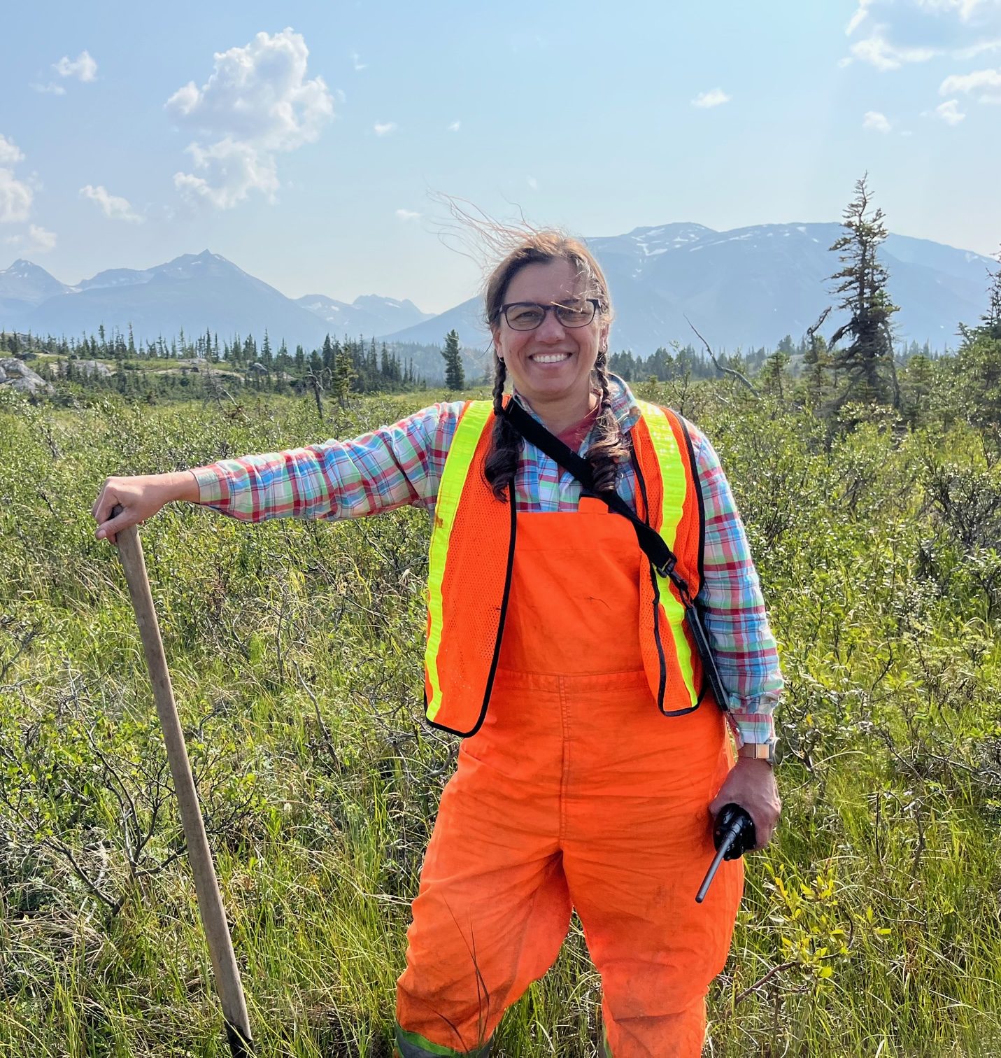 Deepa Filatow, Mentor instructor
Deepa Spaeth Filatow, (P.Geo, P.Ag) is an ‘earth science generalist’ and an expert on the provincial standards and holdings of surficial geology, ecosystem and soils information for British Columbia. This includes 1000 GIS projects with a total of 25 million inventory polygons; 26 000 soil pit descriptions; scanned and georeferenced legacy maps; and associated standards, reports and field data. Deepa has been the Provincial Bioterrain Specialist for the Ministry of Environment since 2001. She is a Professional Geoscientist with the Association of Professional Engineers and Geoscientists of British Columbia and a Professional Agrologist with the BC Institute of Agrologists. Deepa spent many years mapping ecosystems, soils and terrain in all regions of the province and has a keen interest in hydric soils and wetland ecosystems.
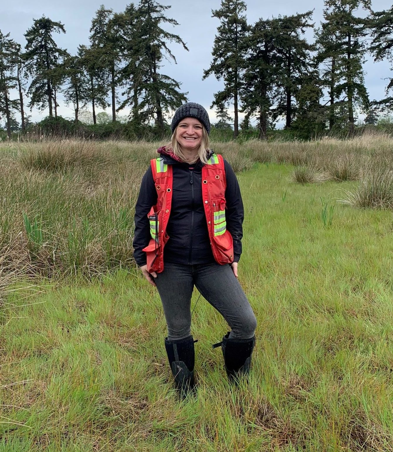 Erin Roberts, Mentor instructor
Erin Roberts (M.Sc, CERP) is the Wetland Specialist for the Canadian Wildlife Service (CWS) Pacific Region. CWS is a branch of Environment and Climate Change Canada (ECCC). Erin has 12 years’ experience in Western Canada assessing, managing, and restoring ecosystems, as well as advising on environmental assessment, environmental regulations, and wetland policy. She has been with CWS for 6 years and worked as a consultant previously. Since 2021, she has been the regional lead for the Canadian National Wetland Inventory for BC, where she leads the coordination, integration, and standardization of wetland mapping data for the CNWI project.
Cora Skaien, Mentor instructor
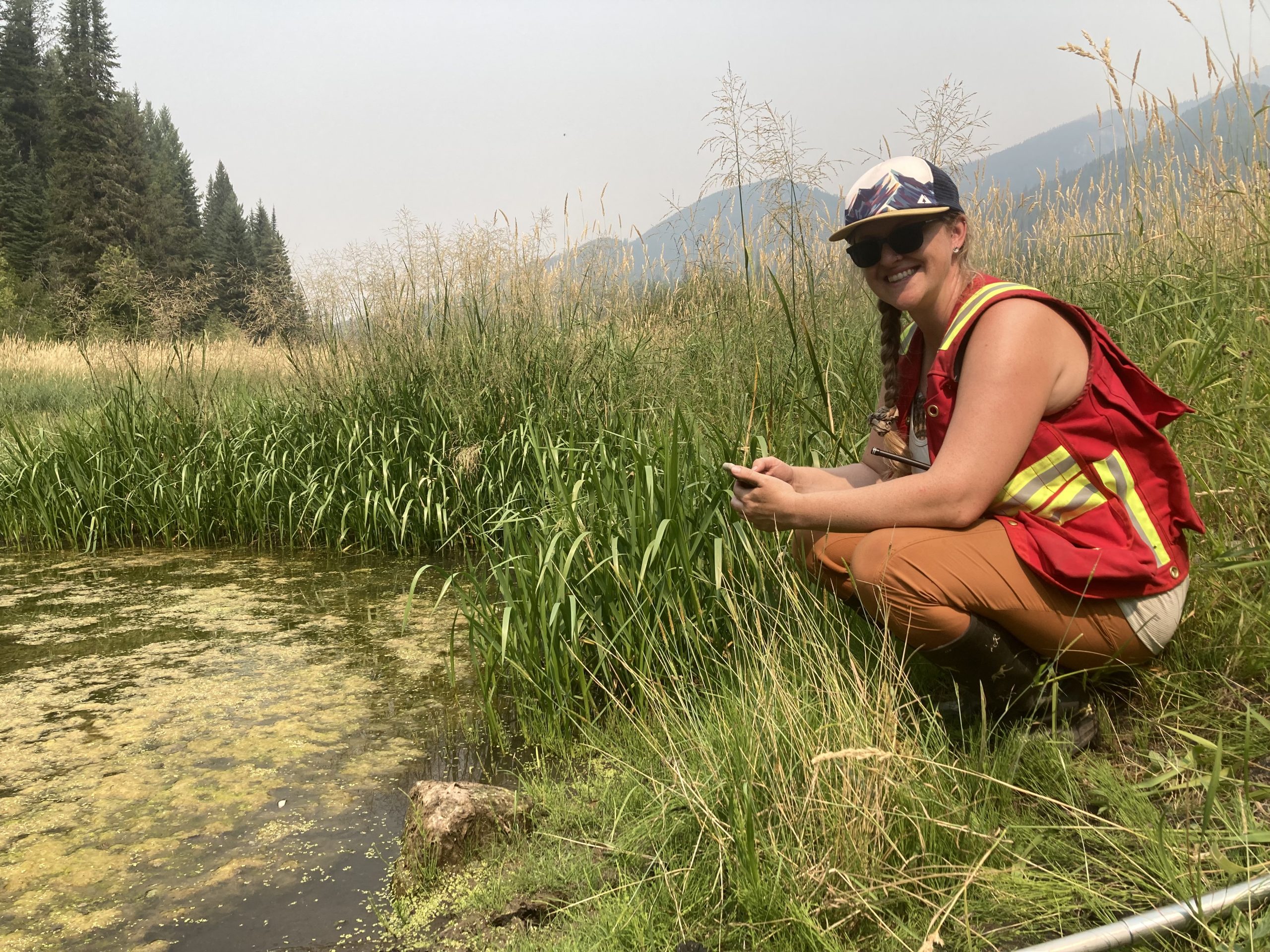 Cora works in the BC Conservation Data Centre (CDC) as a Wetland Vegetation Ecologist. Her role focuses on: updating status assessment rankings for wetland ecological communities within BC (yellow, blue and red-listed); creating Element Occurrences (EOs) for blue and red-listed wetland ecological communities; and fieldwork within wetlands across BC to delineate boundaries of wetlands. This field work contributes to creating EOs, submitting to the Canadian National Wetland Inventory, and having data available for predictive modelling of wetlands.
Who should take this course?
This course is well suited for biologists, agrologists, foresters, students and other environmental professionals and land managers needing to learn more about wetland deliniation. All are welcome.
Prior experience in ecosystem classification, plant ID, and soils would be a benefit, but not necessary.
Preparation and what to bring
Publications
An email with additional resources will be sent prior to the course. In the interim, please review the online PDF version of Wetlands of BC.
Field equipment
Each participant must have:
- Sturdy hiking shoes (for uneven terrain and shovelling)
- Clean rubber boots and waders
- Notebook
- Clipboard
- Mobile device or tablet with with Avenza or Field Maps downloaded for viewing maps and additional field guides
- Pack or field vest to carry gear
- Water bottle (at least 1L, bagged lunches do not come with water)
- Packed lunch if you haven’t ordered the bagged lunches upon registration
- NOTE: All field gear should be cleaned and disinfected prior to the first site, and between sites. Instructors will bring disinfectant to use between sites.
It would be nice if participants have:
- Hand lens
- Munsell soils colour charts
- Soil knife
- Vehicle for carpool: Please indicate in your registration form if you have space to take passengers in your vehicle, but can be solidified at the end of the classroom session.
- First aid kit
- Truck or hand radio with RR stations programed
What is included with the course?
Resources will be sent out prior to course and data collection sheets will be provided by instructors. Field guides: several copies of LMH 52, Plants of Southern Interior BC and Munsell Soil Color Charts will be provided to share, but please bring your own or other supplemental resources. Clean tools to be supplied: soil augers, pH meter, plant ID books, tape measures, drinking water
Lunches are available for pre-order with registration. Coffee/tea and snacks are provided for the classroom sessions.
A certificate of completion is provided to all students to aid with claiming professional development credits.
Thank you!
A big thank you to our event partners, the BC Wildlife Federation, Environment and Climate Change Canada, and BC Ministry Water, Land and Resourse Stewardship for supporting this educational opportunity.


